What’s the Purpose of That Little White Device on the Traffic Light Pole?

September 19, 2026
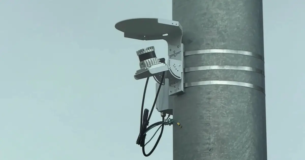
source: @Amykateism / Reddit
That small white device in the photo is a LiDAR traffic sensor, a technology increasingly mounted on traffic-signal poles to detect and track road users. Drivers keep noticing them and snapping photos, unsure what they are looking at. There is often one on each side of the street, unlabelled, pale, and clearly aimed at the intersection rather than at any single lane. No camera lens, no obvious meaning. Just a tidy little housing that seems to be paying very close attention to everything passing underneath it.
The plain answer is that it scans the intersection with laser light. The more interesting part is what it does with what it sees.
So What Is That White Device, Exactly?
The device is a LiDAR sensor, a piece of remote-sensing equipment that maps its surroundings using laser pulses instead of a camera image. The housing is usually small and pale, sometimes with a rotating element inside, sometimes a fixed flash type that stares out through a flat face. You will often see two of them working a single intersection, positioned so that between them they cover every approach and crossing.
According to the National Academies of Sciences, Engineering, and Medicine’s 2025 guide on using traffic signal assets for traffic counts, a LiDAR system combines a laser, a scanner and a positioning receiver into one unit. Ouster is one maker of the 3D units turning up on poles, though it is not the only one, and a white box on any given corner could come from several manufacturers.
How a LiDAR Sensor Reads the Road
The mechanism sounds almost too simple. The sensor fires laser pulses, thousands of them, and waits for each one to bounce off whatever is in front of it and return. By timing how long that round trip takes, the unit calculates the precise distance to that object. Light travels at a known speed, so time becomes distance, and distance becomes position. This is called time-of-flight ranging, and it is the same physics behind most modern remote sensing.
Do that across a whole field of view, thousands of times a second, and you no longer have single measurements. You have a live three-dimensional model of the intersection, rebuilt moment to moment as cars, buses, cyclists and people move through it.
There are two broad styles. Rotating LiDAR spins internally to sweep a full circle, which is why some units seem to hum with movement. Flash LiDAR sits still and lights up the whole scene at once, like a laser version of a camera flash. Either way, the output is the same: shapes and distances, not photographs.
What the Intersection Is Actually Tracking
Because the sensor works in shapes and movement, it can count vehicles as they arrive, measure how fast they are travelling, and even sort them roughly by size, a compact car against a delivery truck. It tracks pedestrians stepping off the kerb and cyclists rolling through, feeding all of it into how the signals are timed and how planners understand the junction.
Worth being clear about the scope, since these things do sit at eye level watching traffic. A LiDAR sensor builds a model of outlines and motion. It registers that something car-shaped is stopped at the line, or that a person-shaped object is crossing. It is not reading faces or number plates the way a camera would. The data is geometry, not identity.
Why You’re Seeing More of Them
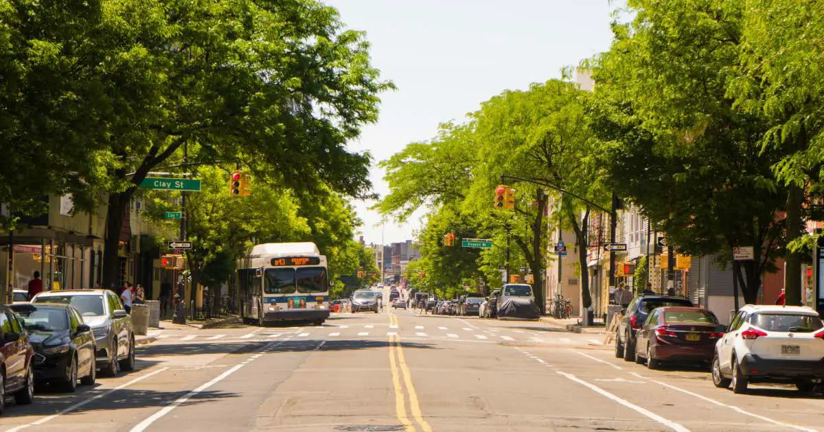
The spread comes down to convenience. Cities can bolt these units onto poles they already own instead of digging up the road, which is the whole thrust of the National Academies guide: leveraging existing traffic signal assets to gather better counts.
If that sounds familiar, it should. For years, junctions have relied on the sensors buried under the road that decide when your light turns green. The white device is the newer, pole-mounted cousin, doing a similar job from above, and it is one of several oddities drivers now spot at signals, right alongside a traffic light glowing blue instead of green.
So the next time a light holds you at the line and you notice that pale box angled down at the road, you know what it is doing. It is counting everything that rolls or walks through the intersection, mapping it in three dimensions, and helping decide exactly how long you sit there before the green.